
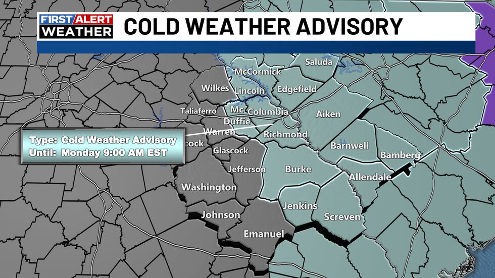
AUGUSTA, Ga. (WRDW/WAGT) – Use caution when traveling on roadways Monday morning. We have issued a FIRST ALERT for Monday morning’s cold temperatures and the likelihood of black ice on the roadways.
While road conditions improved drastically on Sunday afternoon as temperatures rose into the mid-30s to around 40 degrees, they will rapidly fall back below freezing shortly after sunset and into the teens again on Monday morning.
The main issue Monday morning will be black ice caused by runoff from melted snow refreezing. Temperatures will remain below freezing in Augusta through around 10AM Monday; however, locations north of town could stay below freezing until around 11AM. Road conditions will improve steadily after that time.
For the week ahead, we can look forward to a modest warm up, but high temperatures will remain below average in the middle to upper 50s by Tuesday and Wednesday.
The next storm system arrives with a chance of rain Tuesday night into Wednesday, as a cold front passes through the region.
Sunshine and colder weather returns Thursday into next weekend, but temperatures will only be a few degrees cooler than average with highs in the middle 50s next Friday and Saturday with morning lows in the upper 20s Friday and middle 30s Saturday.
Stay with the First Alert Weather team for updates. Download the First Alert Weather App for live radar, detailed forecasts, and push alerts so you don’t miss any changes.
Copyright 2026 WRDW/WAGT. All rights reserved.

")


")


